Great South Rd, Bridge & Culverts
The Great South Road was authorised by Governor Darling and was to run from the cross roads south of Liverpool to Goulburn via Berrima. The project commenced in 1829 with the survey of Sir Thomas Mitchell the Surveyor General. The name was changed in 1928 to the Hume Highway.
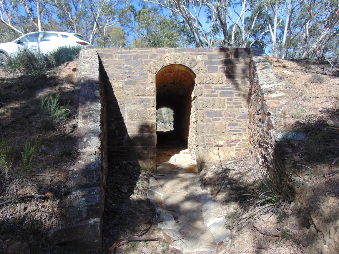
The Great South Road looking east over culvert number 4.
Thomas Mitchell surveyed a route for the road via Towrang that entered Goulburn from the south. The route was laid out as early as 1830. The northern entry to Goulburn down Grafton Street did not happen until 1854 when a bridge over Mulwaree Ponds was constructed.
This section of the road was in use up until the 1940’s. It carried motorised vehicles along the original route used by horse and carts, until the advent of the many highway up-grades. At the southern end of the reserve is a section of the Great South Road, taking in culverts 4 – 6, which remains unchanged.
The bridge has a date of 1839 on one of the stones showing the year it was completed. It is believed that the bridge was designed by David Lennox, a well-known designer of bridges who was working in the colony at that time. The Prospect bridge which opened in 1825 and the Lapstone bridge in the Blue Mountains were both designed by him. These bridges are similar to the Towrang bridge. Construction took a long while as in 1836 Thomas Mitchell commented “ My half formed road was still not accessible at this point for want of a bridge over Towrang Creek” 1. It was another three years until the bridge was finished. The Towrang bridge was in use until the late 1940s, i.e for over 100 years.
- R T Wyatt The history of Goulburn p 41
The bridge over Towrang Creek

Culvert 1

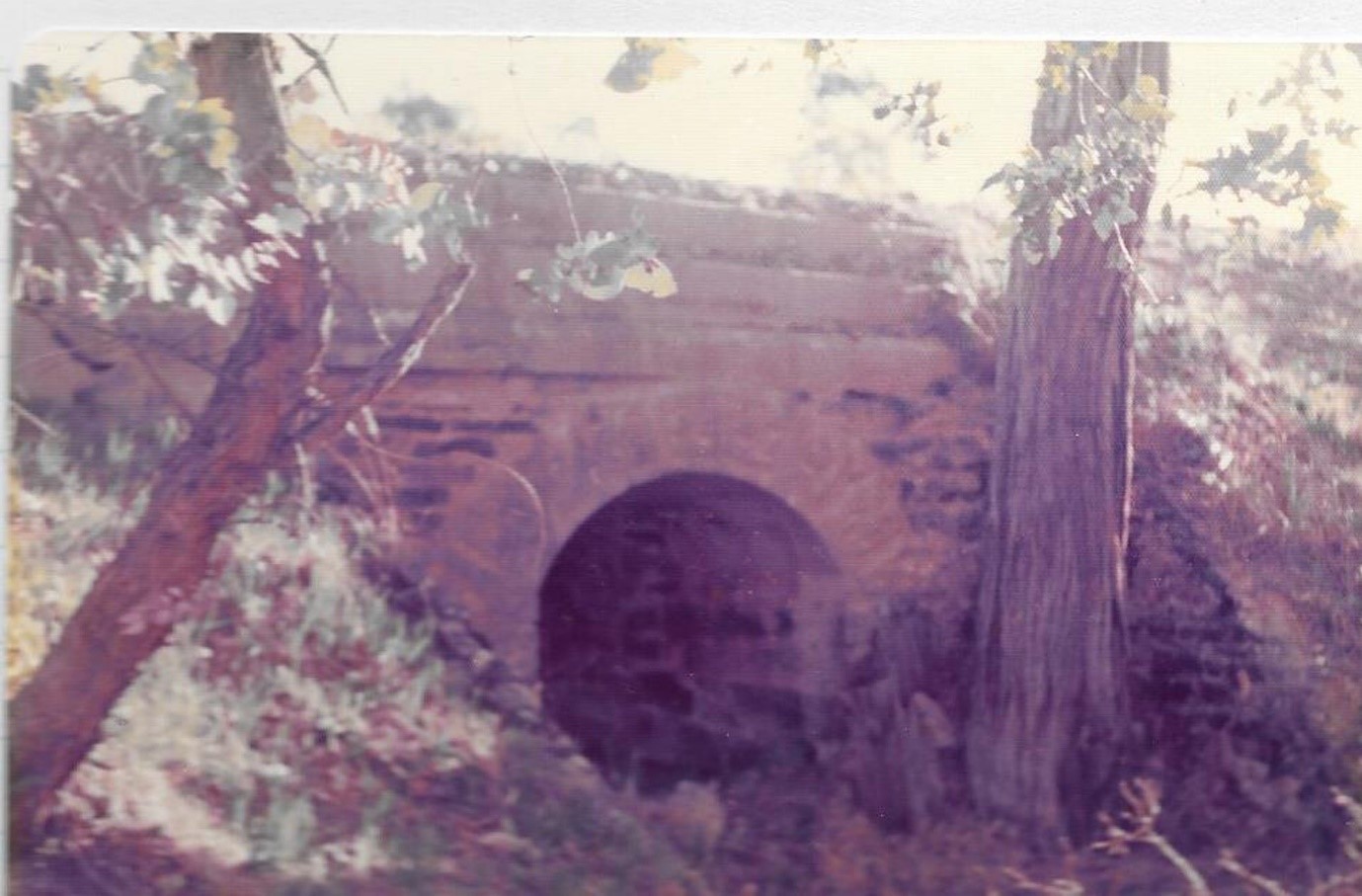
Culvert 3 (North side of highway) before the Hume Highway realignment.

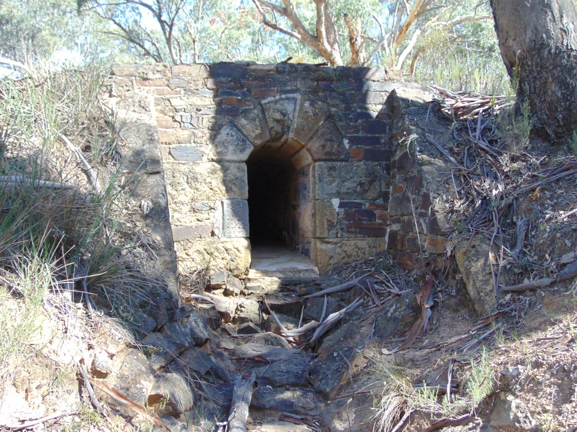
Culvert 5

Culvert 2

Culvert 4

Culvert 6
